Senior Pedestrians in NYC:
A Diff-in-Diff Approach to Evaluating Safe Streets for Seniors
Contact Us Get Started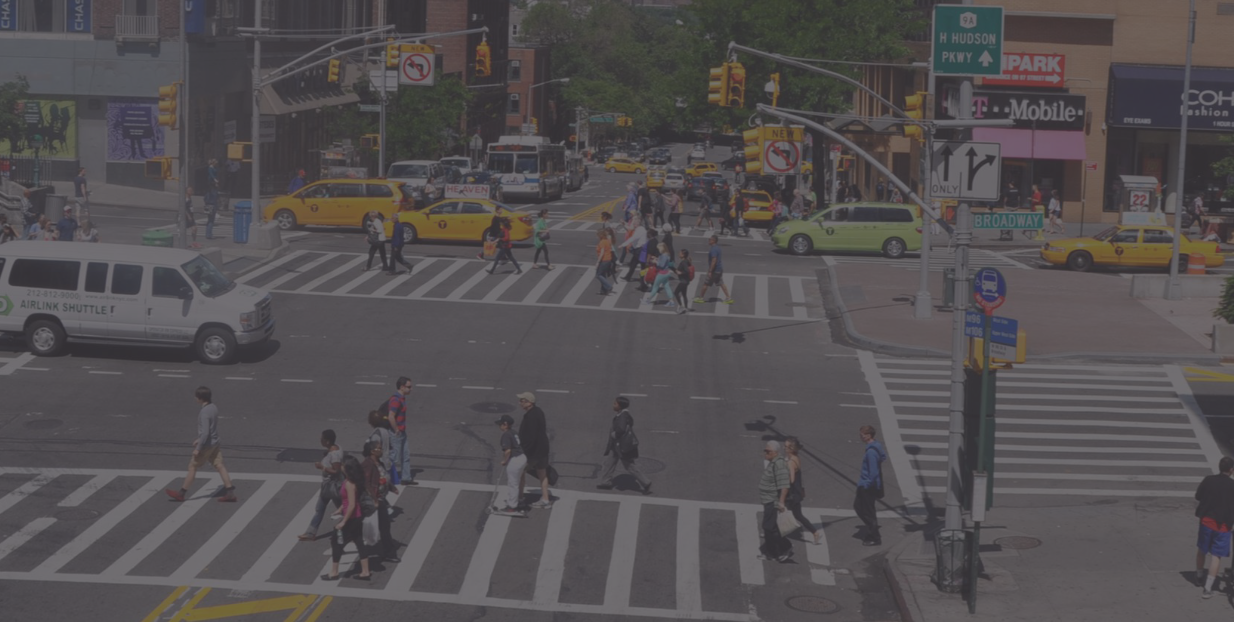
Senior Pedestrians in NYC:
A Diff-in-Diff Approach to Evaluating Safe Streets for Seniors
Contact Us Get Started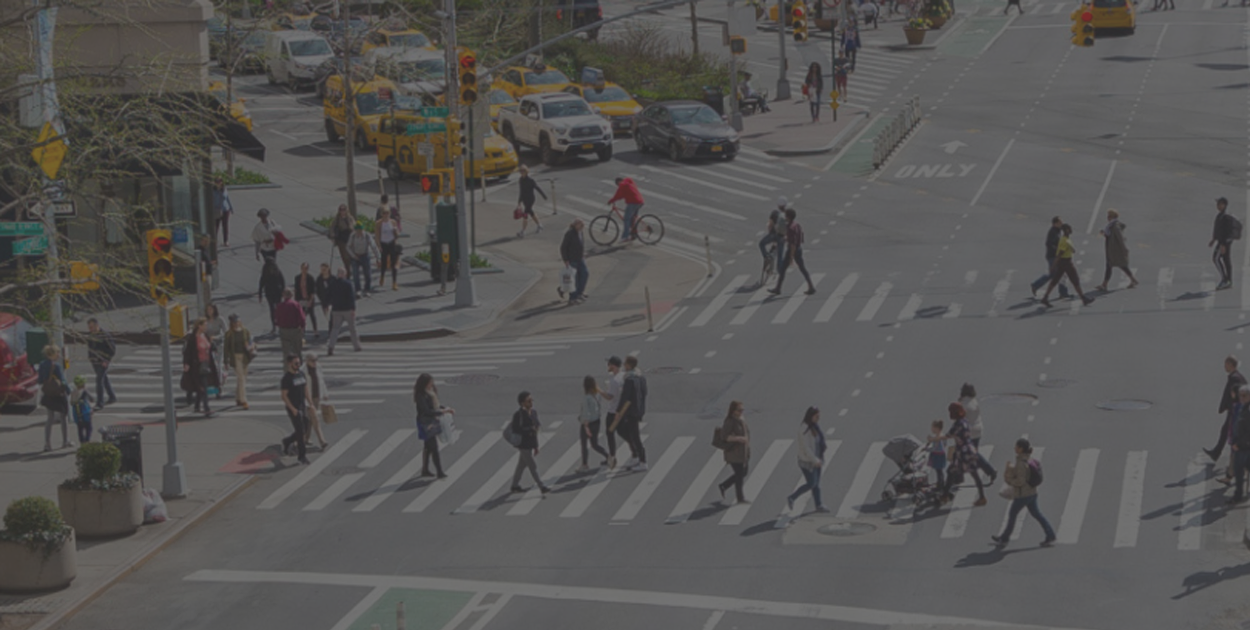
Nations around the world are seeing more and more people flock to cities. The year 2008 marked the first time in human history when more than half of the global population could be found in cities or towns. And that number is only expected to grow: by 2030, two thirds of the global population will reside in cities.
At the same time, many countries are aging. In member nations of the OECD, the proportion of citizens aged 65 and older has grown from 7.7% in 1950 to 17.8% in 2010 and will reach 25% by 2050.
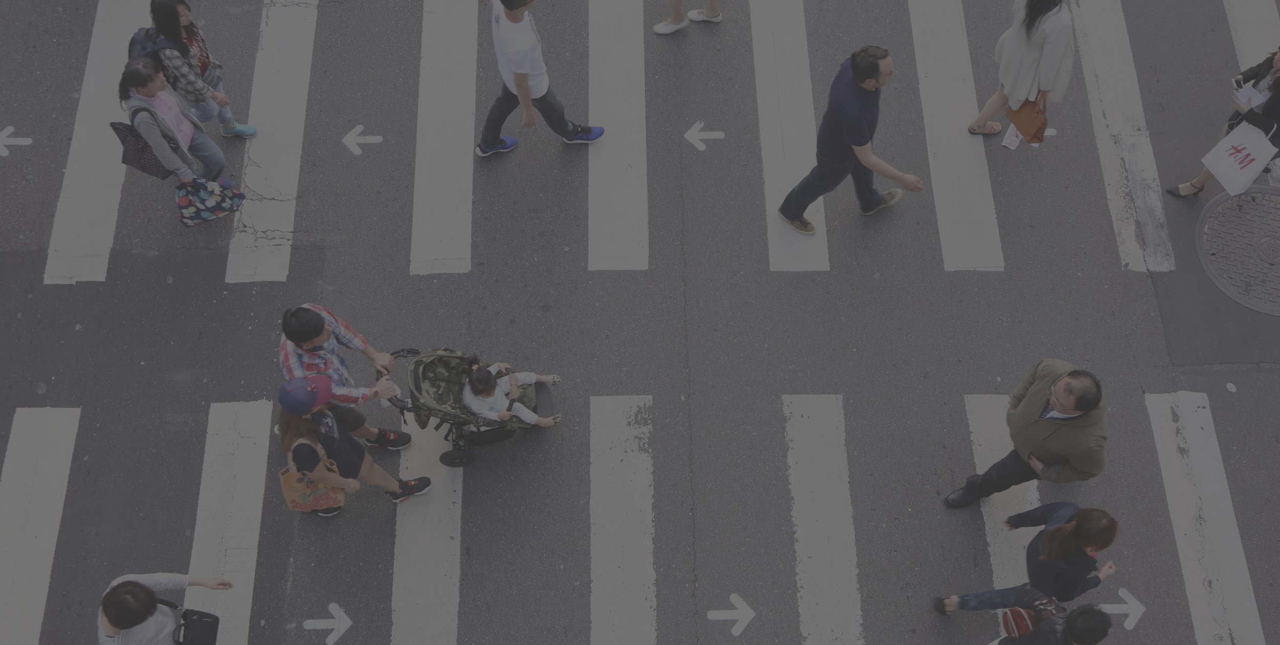
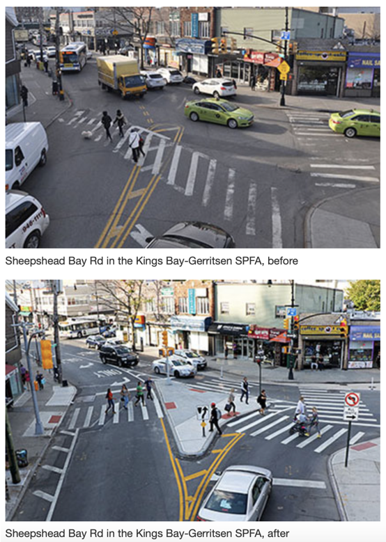
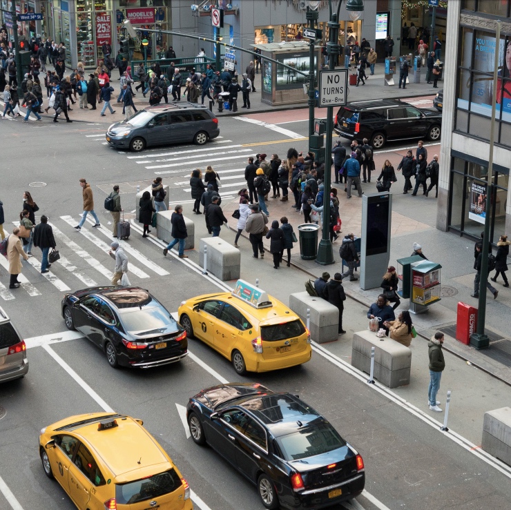
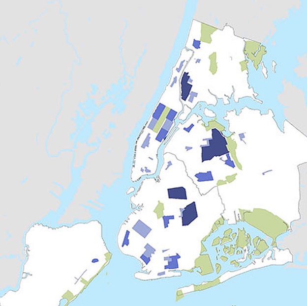
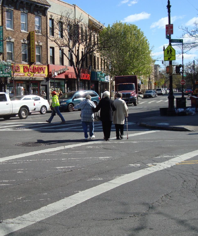
Studies show that seniors face unique challenges when it comes to navigating NYC on foot - senior pedestrians suffer higher fatality rates in pedestrian accidents in NYC than any other part of the US. To combat this problem, NYC DOT came up with its Safe Streets for Seniors program and since 2008, DOT has implemented changes in 41 "Senior Pedestrian Focus Areas".
Hypothesis 1: Fewer seniors will be involved in fatal motor vehicle accidents in SPFAs
Hypothesis 2: Fewer seniors will be killed in motor vehicle accidents in SPFAs
Hypothesis 3: Fewer senior pedestrians will be killed in motor vehicle accidents in SPFAs
Our diff-in-diff analysis relies primarily on two data sets - Motor Vehicle Crash Data collected from the National Highway Traffic Safety Administration (NHTSA) and Senior Pedestrian Focus Areas(SPFA) spatial data.
| Type of Data | Datasets | Relevant Fields |
|---|---|---|
| NHTSA Motor Vehicle Crash Data | Accident Data | Date, Latitude, Longitude, Weather Conditions, etc. |
| NHTSA Motor Vehicle Crash Data | Motorist and Pedestrian Data | Age, Gender, Injury Severity, etc. |
| DOT's SPFA Data | SPFA shapefile | SPFA Name, SPFA Implementation Round, Geometry |
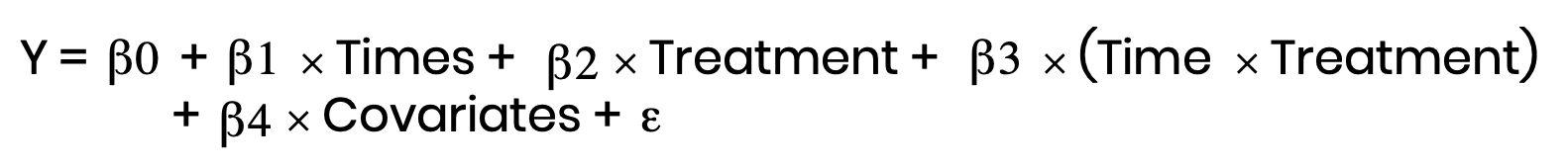
We used a statistical technique known as "difference-in-difference" (aka diff-in-diff) for our study.
Diff-in-diff looks at the effect of a treatment on a 'treatment group' versus a 'control group' in a natural experiment.
It calculates the effect of a treatment on an outcome by comparing the average change over time in the outcome variable for the treatment group, compared to the average change over time for the control group.
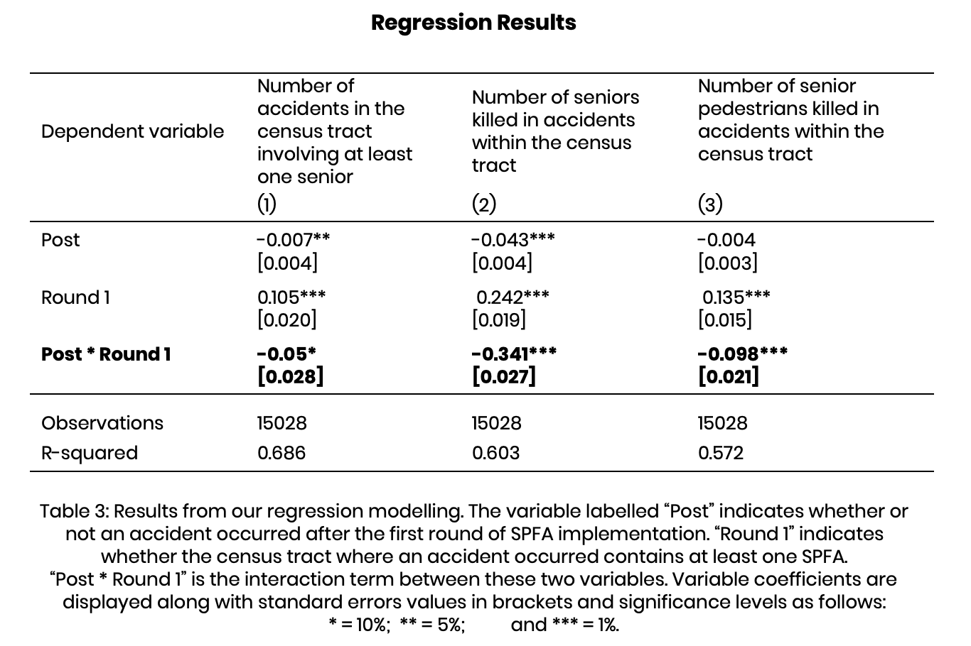
Based on the results of our models, it looks like NYC's Safe Streets for Seniors program is working, which is good news. Fewer seniors are involved in accidents and fewer senior pedestrians, in particular, are being killed by motor vehicles.
In light of these findings, other cities should consider adopting a similar program. Navigating urban environments on foot can be extremely challenging but also essential to the life and well-being of seniors. And as urban senior populations grow in the coming decades, it will be especially important to make sure they can get around cities without constantly worrying for their own safety. Of course, there's no “one size fits all” solution to any public policy. But NYC’s Safe Streets for Seniors is a step in the right direction.
“NYC DOT - Safe Streets for Seniors.” Accessed April 15, 2019.